After we learned about the HOBO software we left the program running so it would collect data while we were at a seminar at noon. David Messenger talked during this seminar. He introduced Hyperspectral Image Analysis and The Gough Map of Britain. Hyperspectral imaging records and processes information from the electromagnetic spectrum. It looks at each pixel of a image and records the spectrum for each one based on its colors. The Gough Map of Britain is the earliest surviving map that displays the island of Great Britain. The Gough Map is from around the year of 1400, during King Henry IV. After this map was made it was continued to be modified for around 100 years after.


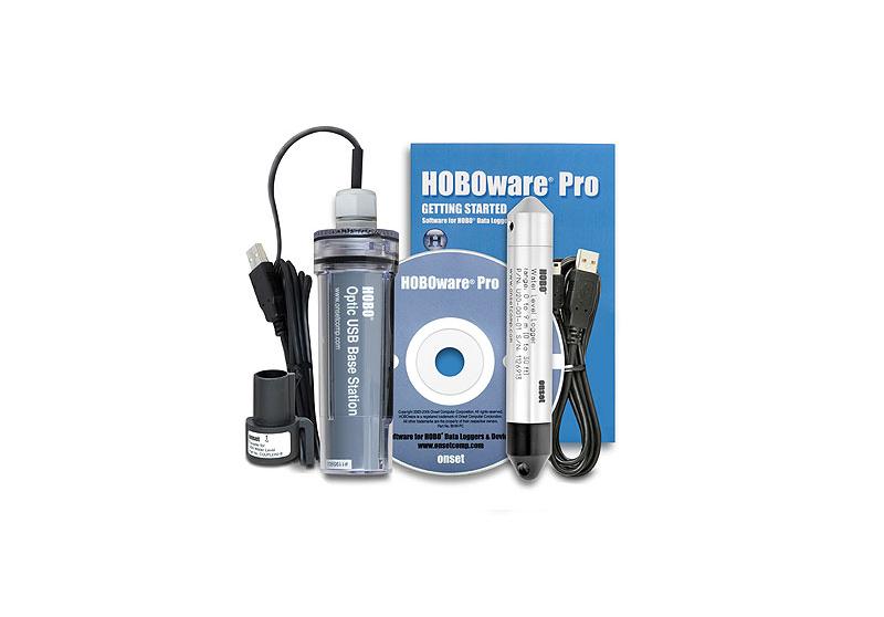
This map was one of the most geographically accurate maps for that time period and the precision of this map still puzzles scientists to this day. Scientists used Hyperspectral imagery when solving some of the mysteries involving the construction of this map. After this seminar me and my partner went back to our lab and continued to work on the new program that we were given the task of solving how it works. When our mentor came in he looked at our problem statements and helped us improve/ make them better. Once we finished going over those, it was time to go through all the equipment that came back and make sure we got everything back. We printed out the packing list and made sure everything that was sent out, came back. It took us a little bit to go through everything but at the end everything was returned and there were no major problems. Once that was taken care of we talked for a little bit on what the plan was for next week and I honestly can't wait to start!
No comments:
Post a Comment